Bridge to Nowhere

Overview:

Hiking to the Bridge to Nowhere is a fantastic option for van or RV nomads wishing to get out of the city and see a genuinely one-of-a-kind Los Angeles landmark in the San Gabriel Mountains. The East Fork Trail is a popular loop that passes by a waterfall and requires hikers to cross the river several times on their way to the bridge. Bungee jumping off the bridge is an option as well.

Adventure:

A hike to the Bridge to Nowhere is a fun adventure for any van or RV nomad. It is a unique LA attraction that draws a lot of people to the bridge. It is a fun hike and also if you want, you can bungee jump off the bridge if you are brave enough.

Dogs can use the trail but must be kept on a leash at all times.

Hiking

The trail to the bridge and back is 9.5 miles long and mostly gradual, with some rugged terrain and rock scrambling. Wading through thigh to waist high water is unavoidable (at least in wet months) so bring appropriate footwear.

The hike has a minimum of four river crossings, so hiking boots, water shoes, and a towel is the best combination of equipment to utilize.

Parking

The trailhead can get crowded so arrive early. This is a popular hike, and people also park here to picnic and swim in the nearby river. Be prepared to leave your vehicle along the road leading to the trailhead if the lot is full. I don’t recommend taking an RV to the trailhead since the road is narrow and parking is limited.

Note: To park at the trailhead requires an Adventure Pass, which can be bought at many small shops in the area. See SoCal Park Passes
 

Bridge History:

The Bridge to Nowhere was constructed in 1936 over a gap carved by the San Gabriel River’s East Fork. The bridge was built to serve as a link in a roadway between the San Gabriel Valley to the south and Wrightwood to the north. However, in the spring of 1938, a massive flood changed the canyon’s landscape and washed out the road leading to the bridge. The road was never restored, and construction was abandoned due to a lack of financial investment.

Directions:

From the 210 freeway in Azusa, take exit 40 north on Route 39. Drive 11.6 miles north, passing the East Fork Ranger Station at the base of the San Gabriel Mountains. Pass San Gabriel Reservoir and turn right on East Fork Road. After 5.2 miles, when the road makes a sharp bend to the right, continue straight ahead on Camp Bonita Prairie Forks Road, sticking with the river for an additional 3/4 of a mile to the trailhead parking area.

Address: Camp Bonita Rd, La Verne, CA 91750

References and Oher Adventures:

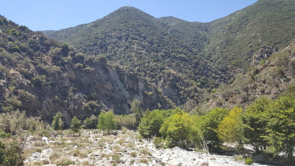
San Gabriel Canyon OHV

San Gabriel Canyon Off-Highway Vehicle (OHV) Area is located 11 miles north of Azusa on Highway 39. It features 160 acres of sand, rock, river, and boulders for anyone who wants to challenge their offroad driving skills. There is an actual obstacle course that is open on the weekends to try. It’s also a fun place to watch others challenge themselves from the surrounding hills’ safety.

Read More »
Hiking

Mount Wilson

Mount Wilson and the Mount Wilson Observatory make a great day trip out of the city. The parking lot at the top of Mount Wilson offers amazing views of the city and is a great place to take LA photos. Along with the views, the observatory is world-renowned in astronomy and offers daily tours.

Read More »
Scroll to Top